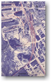
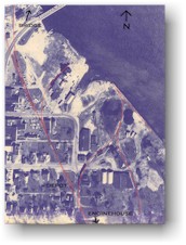
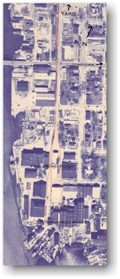
Aerial photos of Ahnapee & Western tracks in Sturgeon Bay and Sawyer, with the railroad tracks highlighted for greater visibility.
Here is an aerial photo taken April 4, 1963. The photo shows the area in Sturgeon Bay north of the railroad bridge and most of the town of Sawyer, located just south of the Sturgeon Bay Ship Canal. The photos have been enhanced by highlighting the railroad tracks. Due to the large size of the files, the aerial has been scanned in sections.
Thanks is due to Andy Laurent for giving permission to display these aerial images on the Green Bay Route web site.
- A 1925 map of Sturgeon Bay from the U.S. War Department.
| The photos on the right are arranged in relative position to each other. Click on any photo, or the choose from the list below, to see a full-size copy of the image. |  Bay Shipbuilding |
|
 Sturgeon Bay Yard |
||
 Town of Sawyer |
 Petersen Shipbuilders |
Notice: These images are owned by
Andy Laurent
and may not be reproduced without permission.